
There are several ways to get to the top of the 6th highest peak in New Hampshire – Mount Lafayette (5261 ft) but Tim picked the ascent via the Old Bridle Patch & Greenleaf trail to Mt Lafayette and then along the Franconia Ridge to Mt Lincoln & Little Haystack. Once at the top, we’d decide how we were feeling and what the next part of the route would be. I fancied the Falling Waters trail as I love a good waterfall and this trail always seemed to be recommended in all the guide books and reviews. This 8.9m hike is one of the most popular routes and is classed as difficult as the trails in the loop earn their grade through relentlessly steep and rugged terrain covering exposed tree roots, rock staircases, boulders, and loose gravel. The loop is actually usually done the other way around as the Falling Waters trail is considered to be the more difficult part….. but, we didn’t know that!
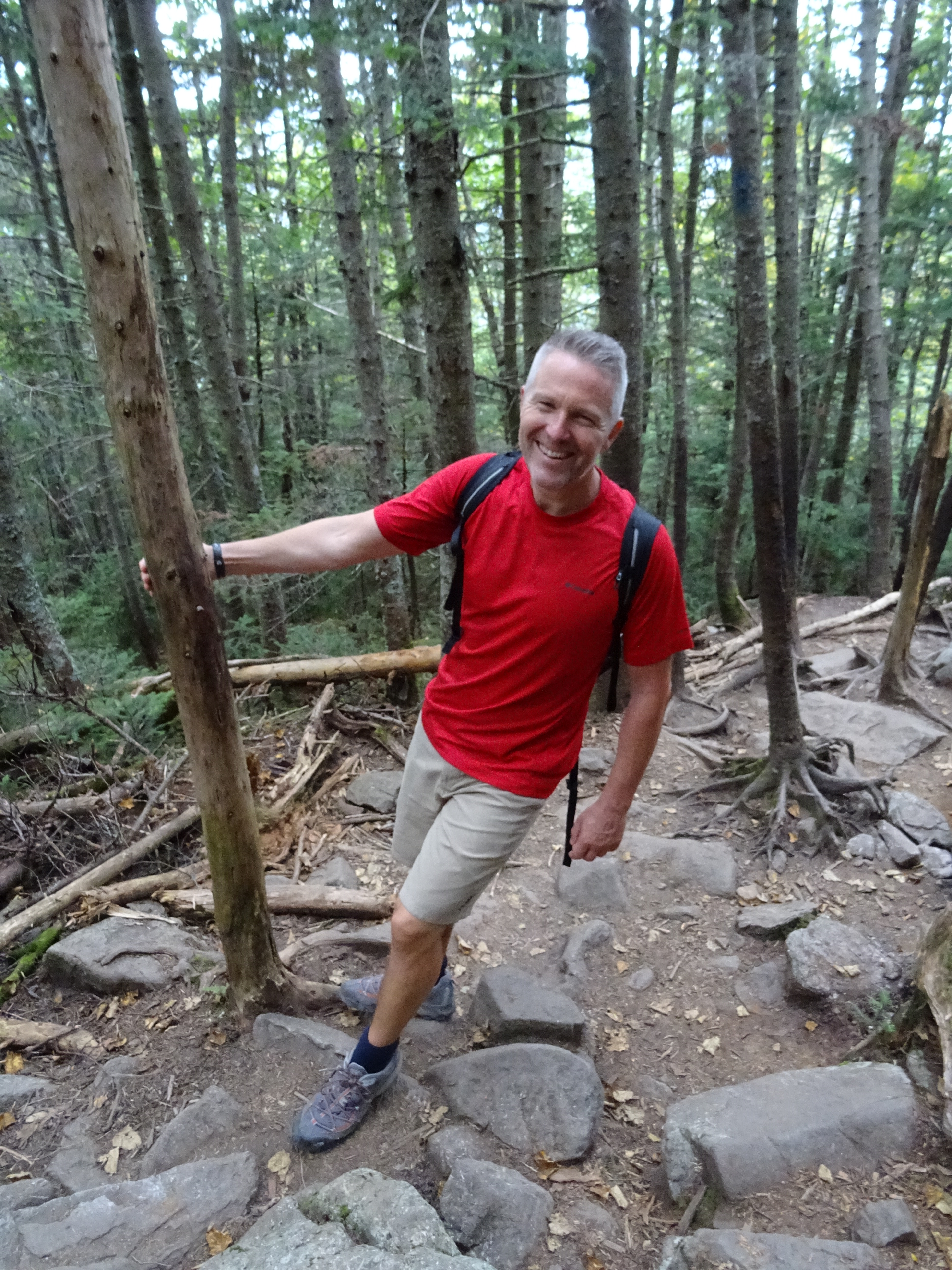
From the parking area, the trail makes its way through the forest for a couple of miles before finally breaking through the canopy of trees. After reaching the crossroads of the Old Bridle Path and the Falling Waters trail after about quarter of a mile in, we carried on along the Old Bridle Path towards the east. Turning left, the path ascends a steep rock staircase before taking us through the northern hardwood forest and up and over the many tree roots. When the path begins to climb, the terrain becomes more rocky with large rocks and boulders.
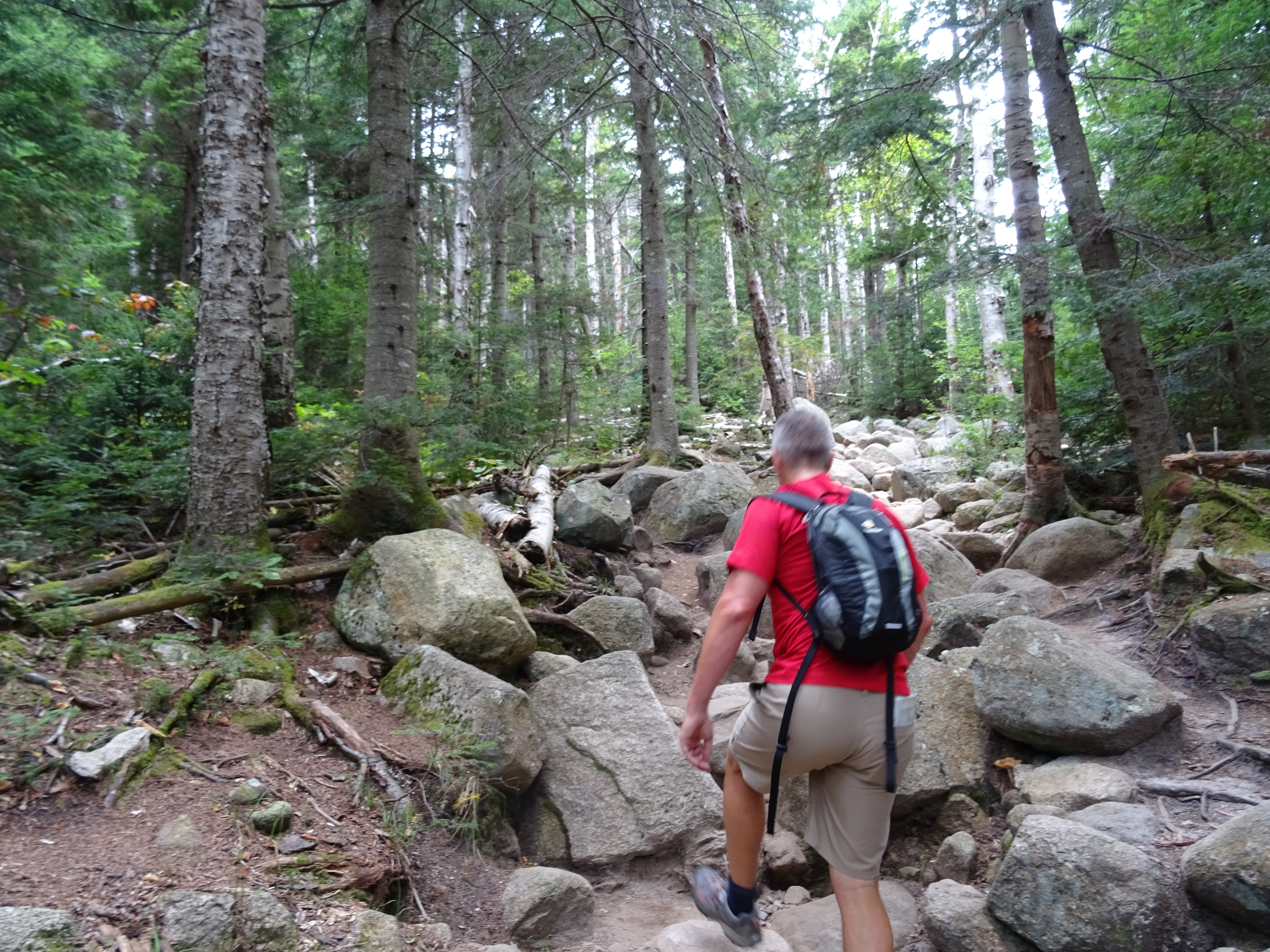
The first mile or so is a gradual climb but then it starts to get steeper as the ascent to the ridge and the Greenleaf Hut is reached. It seems to take forever before we get sight of any views but it’s really probably only around 1.5 miles. After another half a mile, we finally reached the end of the tree line and the first of two spectacular open ledges.

Unfortunately the weather was rubbish and we couldn’t see a thing apart from mist. Great, we come all this way, hike up a massive mountain and we can’t see a thing. After another 100 feet, we reached the second. As we carried on, the mist seemed to pass over us and we were able to see some views of the ridge we were walking over.
At 1.6 miles, after ascending a rock staircase, the trail turns sharply left at “Halfway Corner”. Walker Brook can be heard in the valley below. The trail continues up high above the Walker Brook before flattening out to the Agony Ridge (named after both animal and human mules who carried supplies along three bump-like “agonies” to the Greenleaf Hut). Eventually we caught sight of the Greenleaf Hut (built in 1930 by the AMC). Clouded in mist, it actually looked quite spooky. Deciding not to go in, we carried on down the 1.1m Greenleaf Trail towards Eagle Lake at the foot of Mount Lafayette.

From the hut, we continued along the Greenleaf trail which took us down towards a clearing and Eagle Lake and then back up again and into the woods.

Shortly after, we reached the end of the treeline. We were finally on the “Ridge”.
We kept being tantalised by snippets of the views surrounding us – we should have been able to see Cannon Mountain in the foreground and even as far as Vermont but sadly, none of these were visible in their entirety.
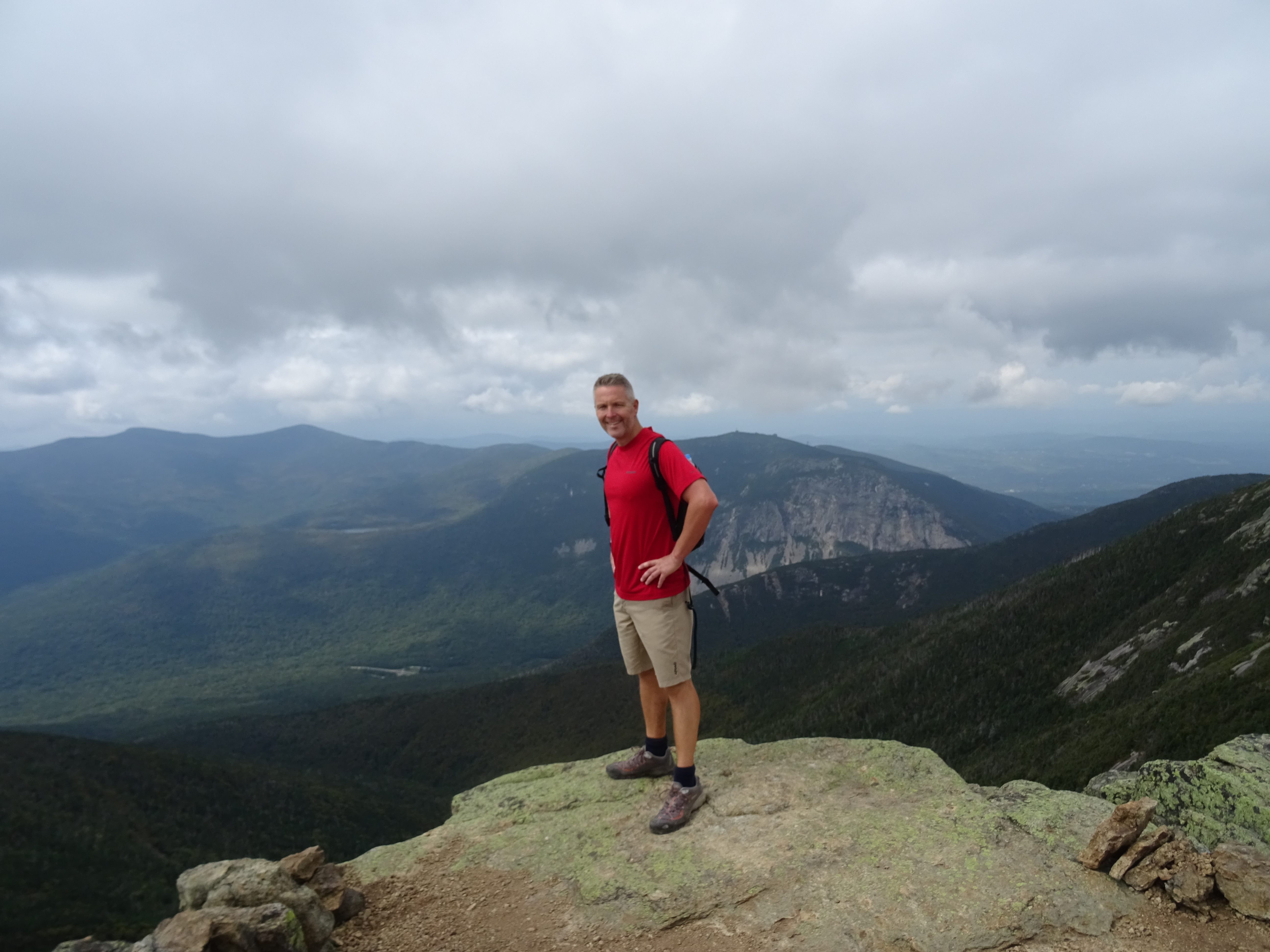
After 4 miles of walking, we eventually reached the summit of Mount Lafayette. We could have been anywhere – the views from the top were non-existent. After a few photo’s alongside the summit marker (to prove we were actually there!), we headed south along the Franconia Ridge on the Appalachian Trail towards the next summit – Mt Lincoln (5089 ft).
About 2.5 miles of this ridge (from the treeline just north of Mt Lafayette to the treeline just below Little Haystack) is in the alpine zone and we were conscious and careful not to stray from the path so as not to disturb this fragile landscape. After another mile or so, we reached the next peak Mt Lincoln.


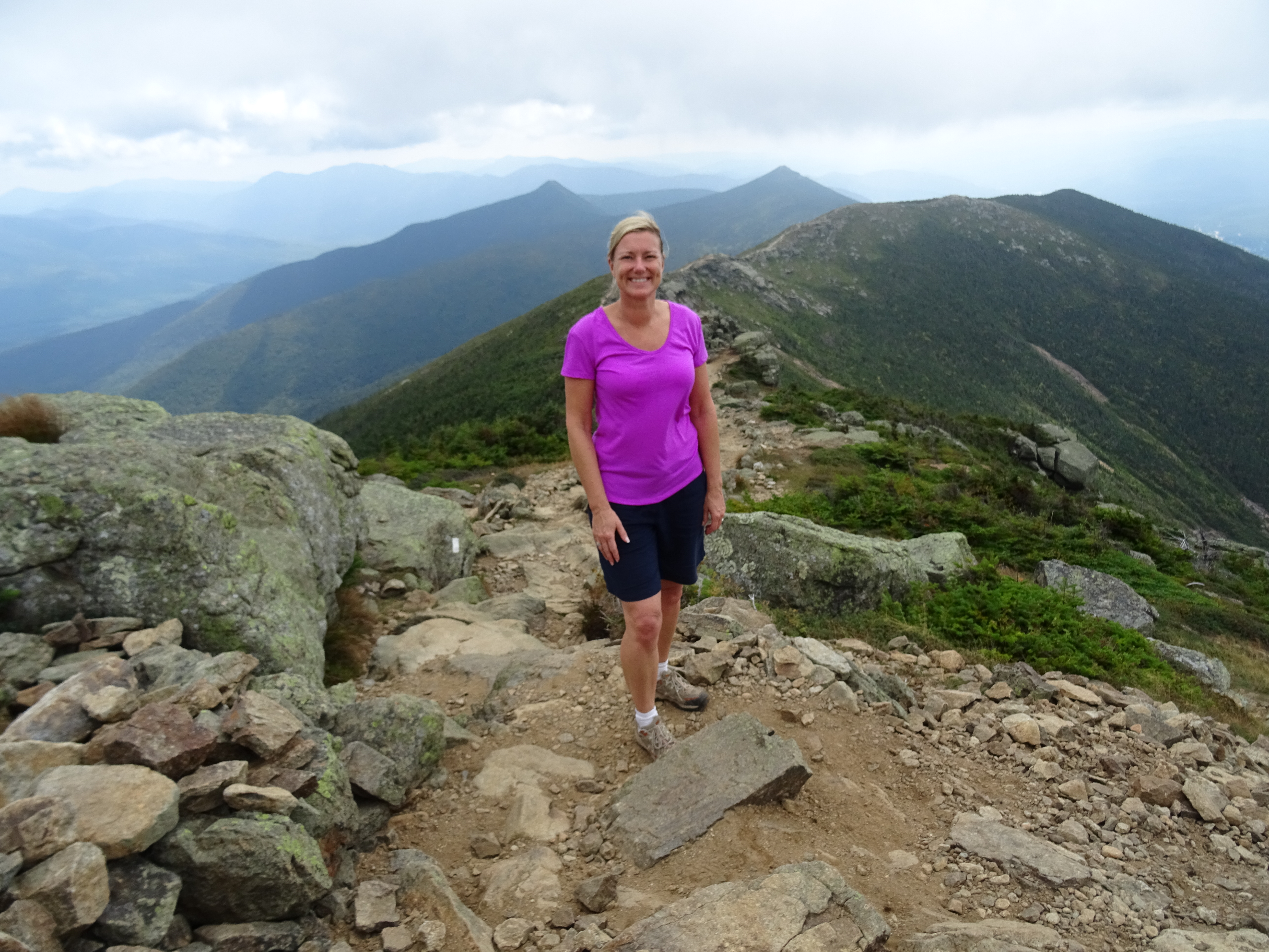
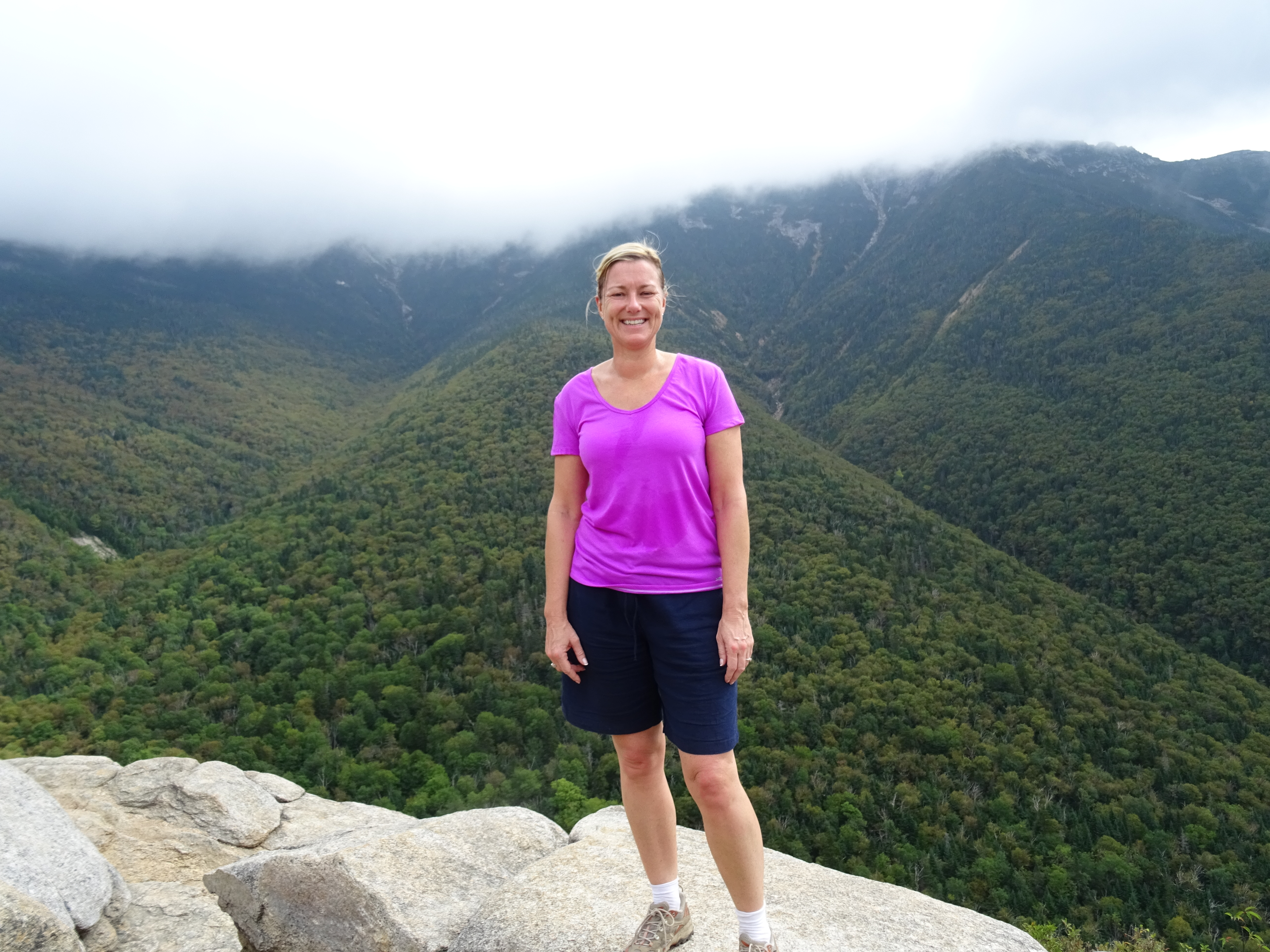
By this time, the mist was starting to clear and we kept getting bigger and wider views of the eastern surrounding area. Finally the views opened up 360 degrees and the Pemigewasset Wilderness in the east and the mountains towards Mt Mansfield and the Adirondacks in the west were just about visible. Looking back down towards Franconia Notch, Cannon Mountain (4093 ft) looked tiny and the many ski trails looked barely visible. It really did feel like we were on top of the world.

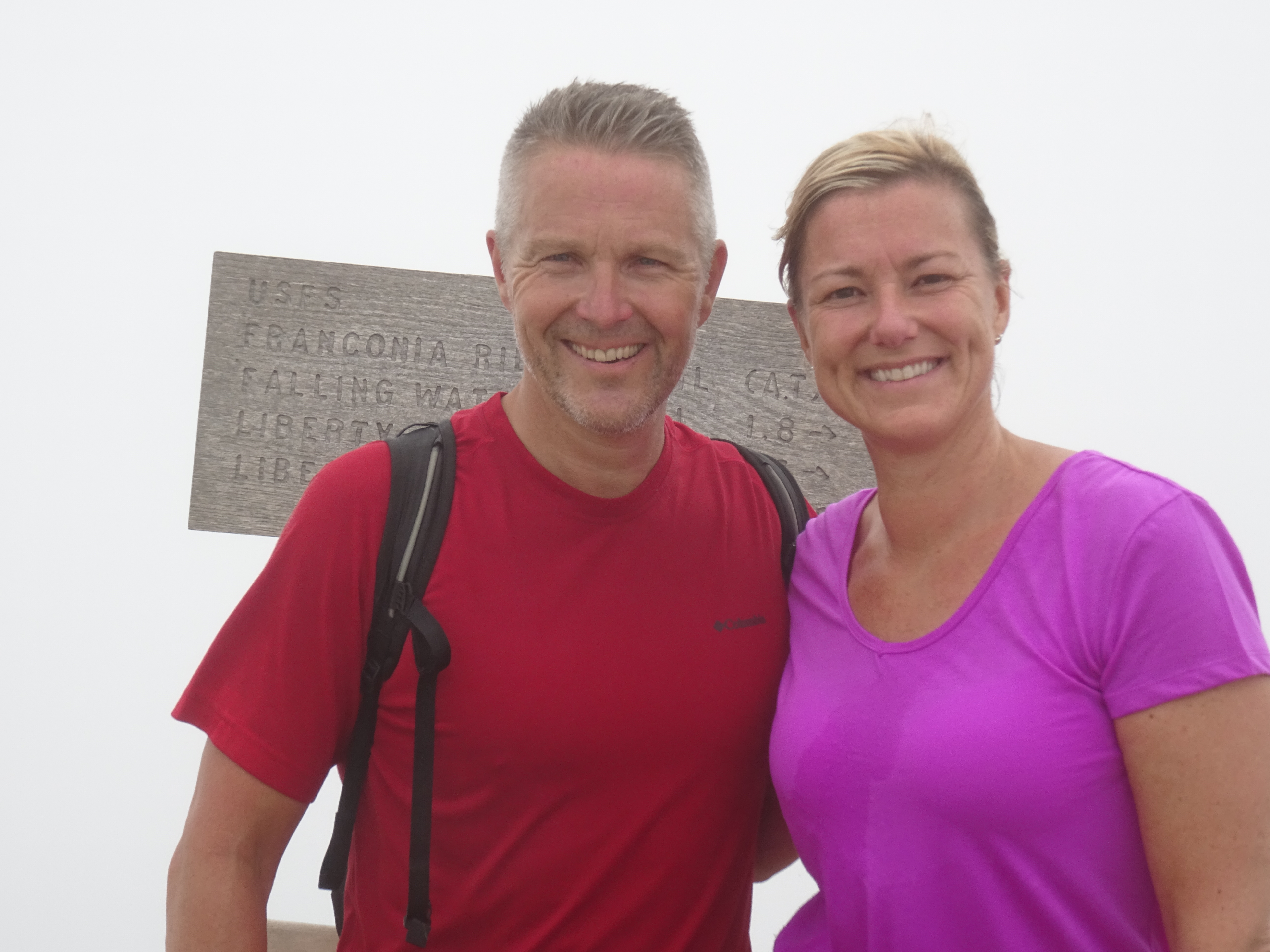
The weather continued to improve (a little) as we made our way along the ridge to Little Haystack (4780 ft). Looking back the views over our route (the western flank of an old volcano that once towered above Little Haystack) continued to improve. Once at Little Haystack, we had a choice – continue along the ridge to Mt Liberty and down the Liberty Spring trail or down the Falling Waters trail. Not only did I really want to see the Falling Waters trail but I also felt that further ridge walking would be uneventful as the views would just be the same. Tim on the other hand….. After seeing some of the people who had made it up the Falling Waters trail (in jeans and trainers), we decided to follow this trail back down…… mmmm, I’m not sure this was the right decision! Hindsight is a wonderful thing!
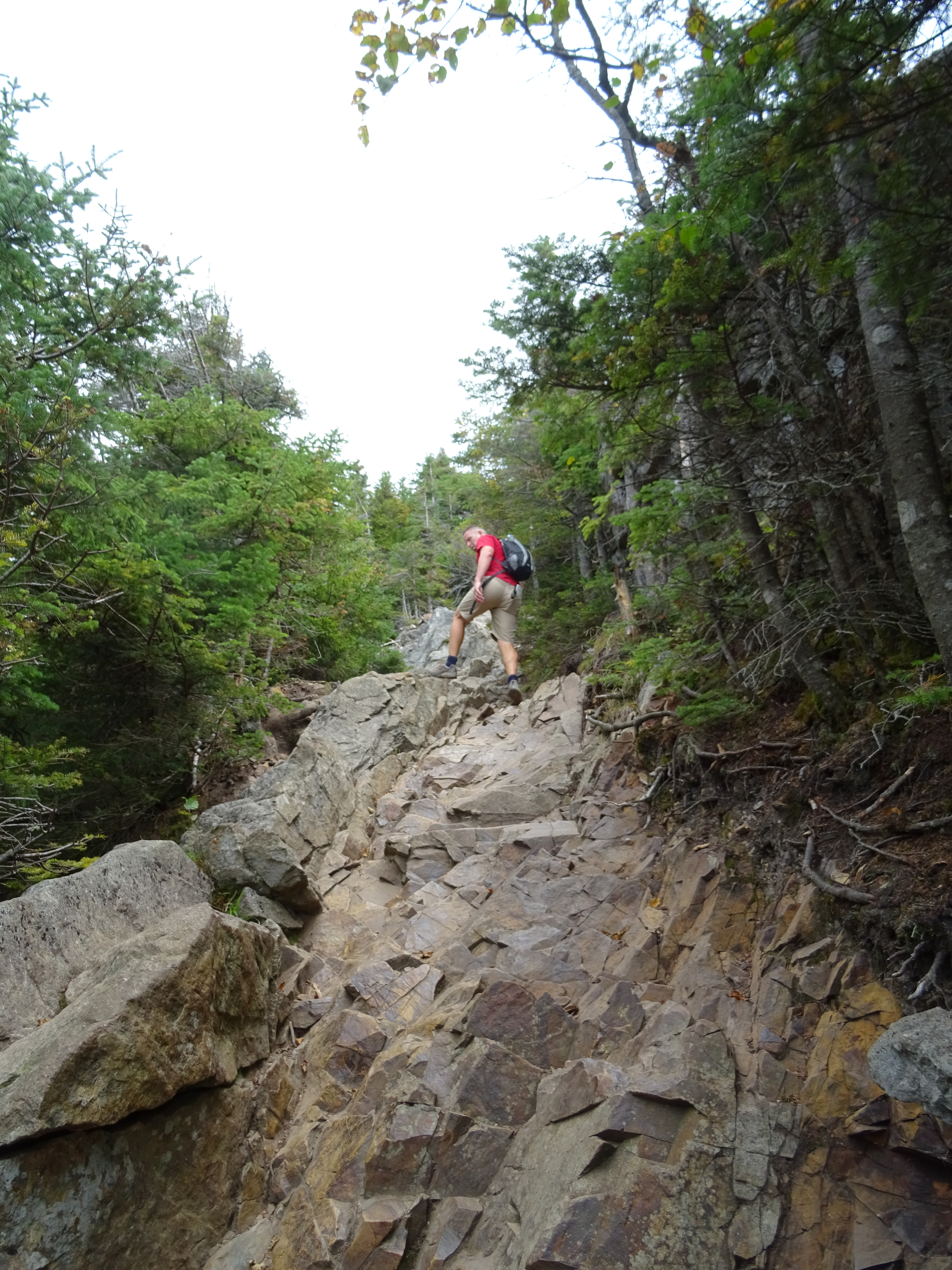
The Falling Waters trail is a straight descent from the summit. For almost 2 miles, we wondered what we had let ourselves in for as there was nothing apart from steep descents and trees…. would we ever see a waterfall? We kept seeing little trickles but nothing that made us go “wow”!

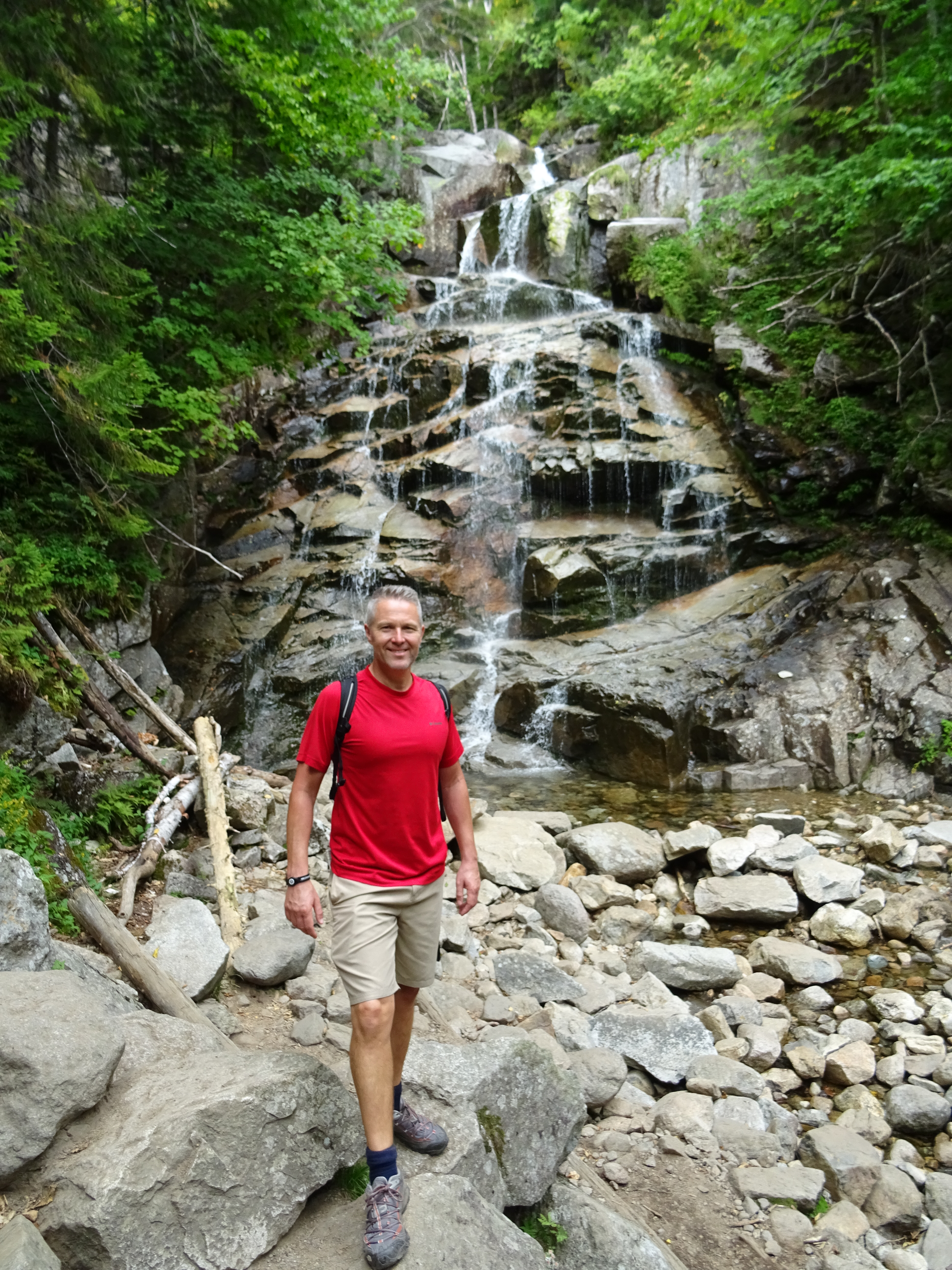
Our patience was finally rewarded as we finally started to come across some waterfalls. There were a couple of small at first and just with a trickle of water and we did wonder if this “was it!”. However, we soon came to the fan-shaped 80 ft Cloudland Falls. Wow! It was fabulous.

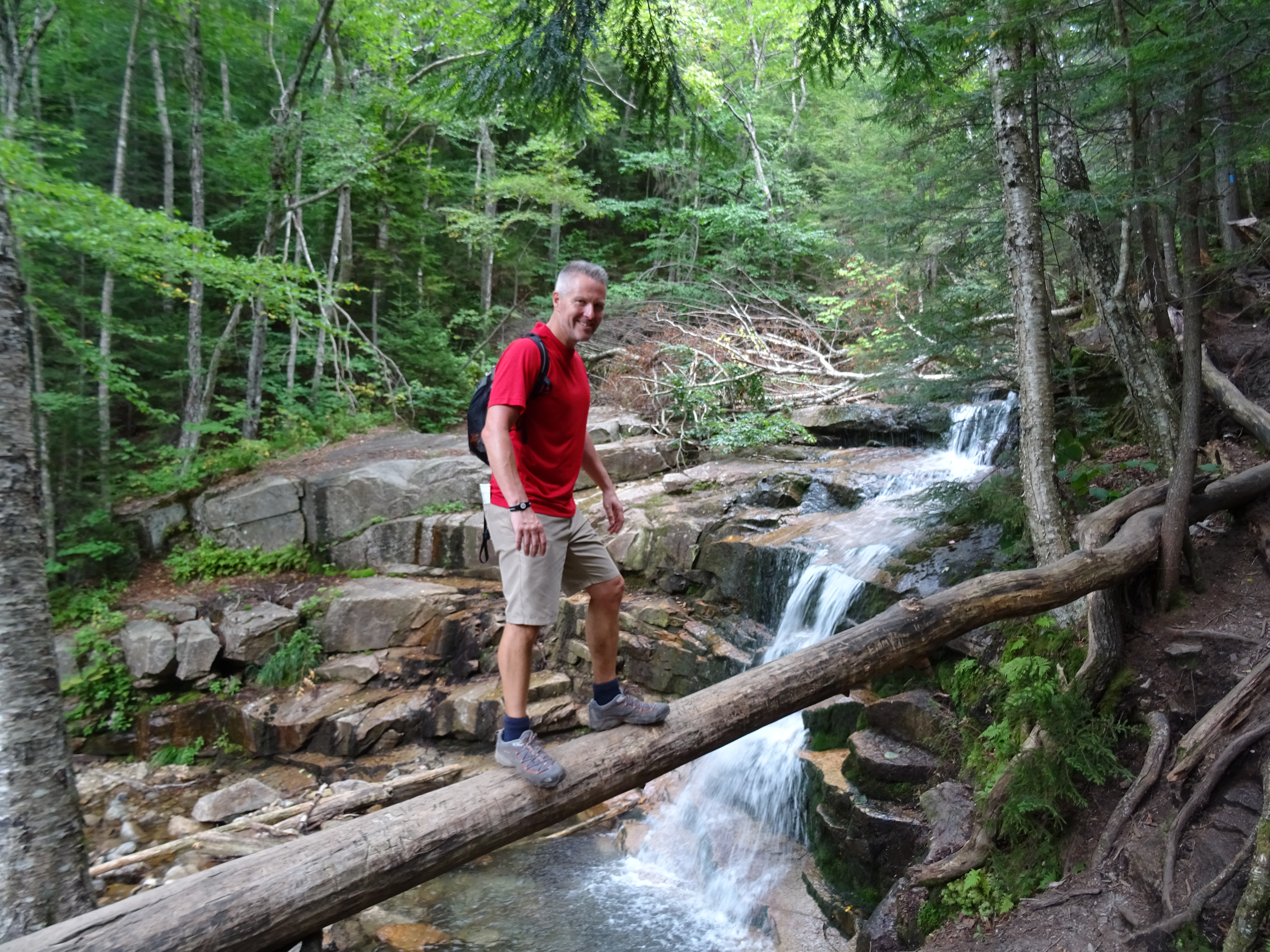
The path continues to zig zag down and eventually reaches another waterfall. At 60 ft, the Swiftwater Falls are not as impressive as the Cloudland Falls but they are still fab.

After passing beneath Sawteeth Ledges and another 0.1 mile, we reached Stairs Falls which is the last of the waterfalls that give this trail its name.

We continued along down the path on the south side of the brook before crossing to the north bank of Dry Brook. Soon enough we reached the wooden footbridge just before the crossroads with the Old Bridle Path at Walker Brook and where we first started off 5.5 hours earlier.
This was a great walk in the White Mountains but in hindsight, I think it would have been better doing it the other way by hiking up the Falling Waters trail as going up is always so much easier than coming down!
