
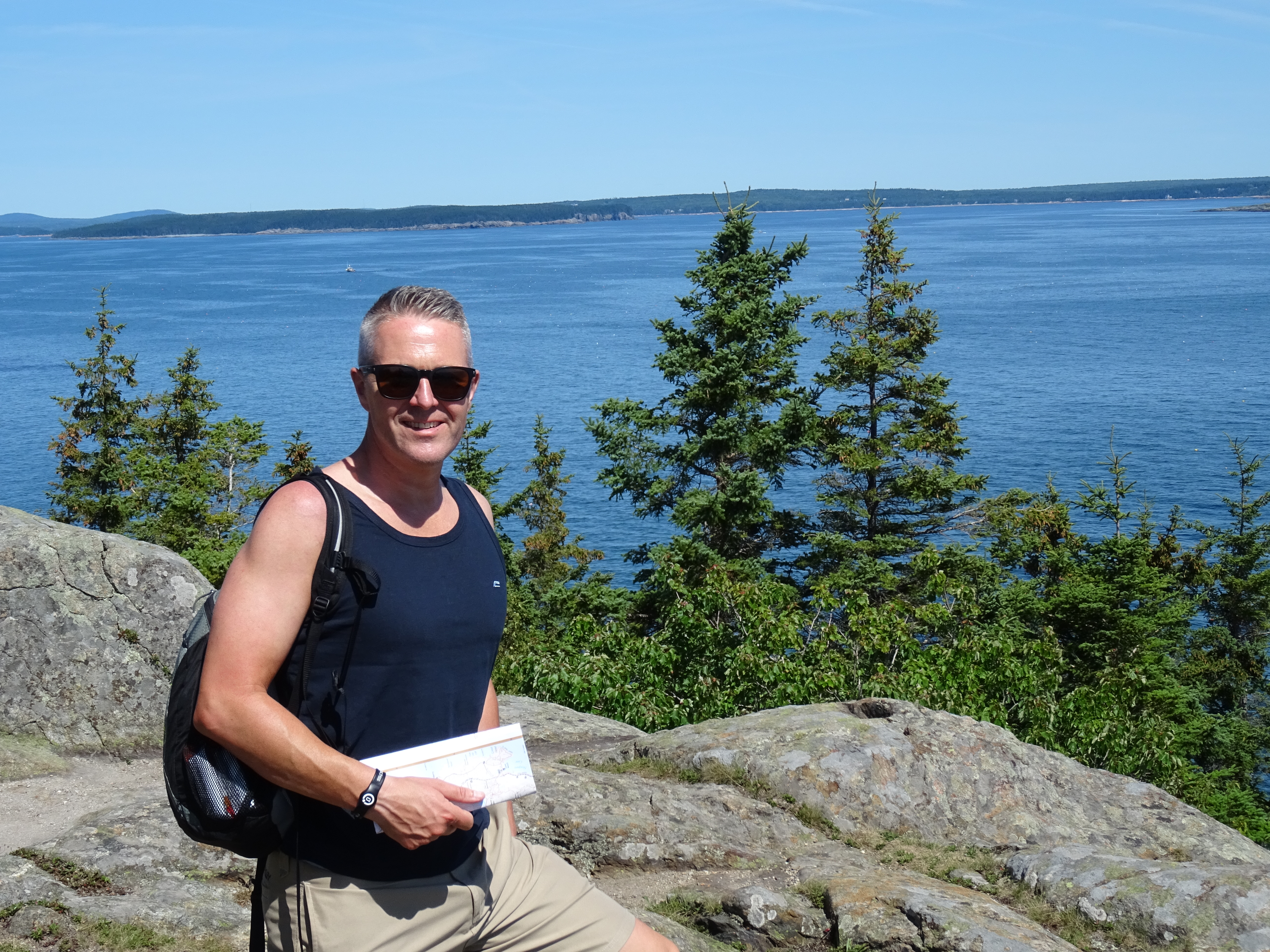
After enjoying a delicious breakfast at Jeannie’s in Bar Harbor, we were all set to explore the national park by embarking on our first hike of the holiday.
We had no real perspective of how long any hikes would take as we had no idea of the terrain. The trail map that we had purchased had distances on but all the routes seemed really short meaning that we’d have to string a few together to get a really “decent” walk.
Obviously, the first hike on the list had to be the highest in the area – Cadillac Mountain. At a height of 1528 feet (470 m), Cadillac is the highest summit in Hancock County and provides spectacular views of Mount Desert Island. It’s also the first place in the USA to see the sunrise so it’s a very popular place to visit.
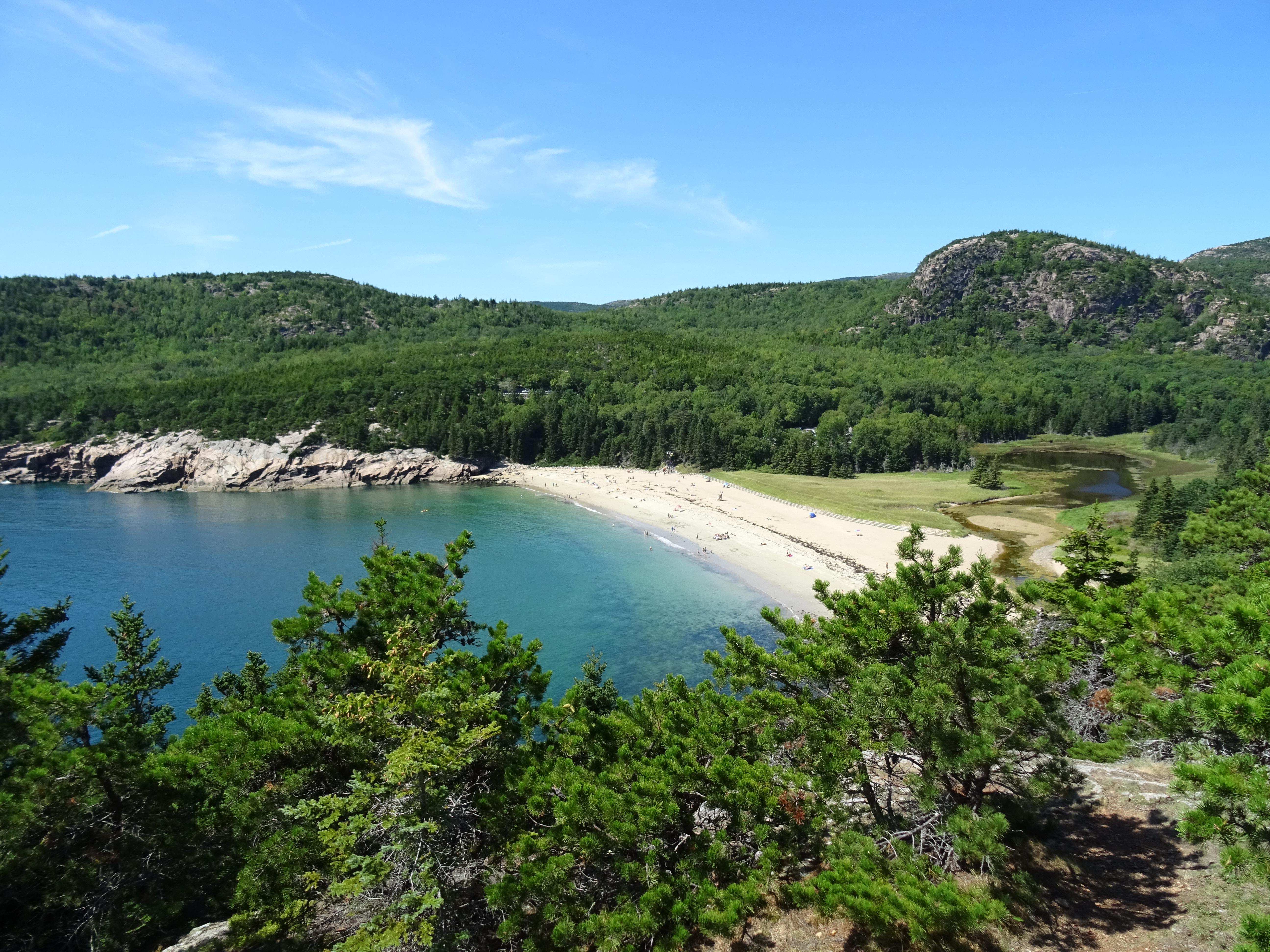
We caught the bus from the Hull’s Cove visitor centre to just before Sand Beach and picked up the Satterlee trail down to the Ocean path. As soon as we reached the coast, the piercing blue skies merged into the piercing blue sea – stunning. The path hugged the coastline all the way to Sand Beach, a delightful little bay with white sand and turquoise blue water. Gorgeous.


The Ocean Path took us to Thunder Hole where, if the time is right and the wave is right, a deep thunderous noise is made just like Thunder. Sadly we were too early and rather than hang around to experience this (along with the many other people), we decided to press on with our walk.

The Ocean Path continued along the coastline towards Otter Cliff and Otter Point – more stunning scenery and views.

At the end of the path at Otter Point, we picked up the park loop road and followed it along the side of Otter Cove before picking up the Quarry trail towards the Blackwoods campsite. The signage in the campsite was poor / non existent and it seemed as though we were wandering around amongst the tent pitches for ages before we eventually found our way out of the campsite maze of trails to join the Cadillac South Ridge trail to Eagles Crag.
The first part of the trail was in woods so we didn’t see anything but as soon as we reached the top of the treeline, the views were out of this world – Acadia NP was definitely a stunning place.

The path and terrain were easy going and the ascent was slight. We made our way up to the top towards Eagle Mountain stopping on several occasions to admire the views. It is actually recommended that the Cadillac trail is done from north to south so that you can see the views that lay before you but doing it that way just did not fit into our plan. Besides, we could turn around whenever we wanted to admire them.


We made our way up to Eagles Crag passing only a handful of people on their way down. From here we continued along the South Ridge trail to Cadillac Mountain. As we approached, we could see the many many people on top all looking like ants on the horizon. There’s a road up to the top as well as parking so it’s a very popular activity for visitors.
Once at the top, we quickly had our photo taken and then moved away from the crowds…. not that you could really get away from them but at least we weren’t in the “thick of it”.
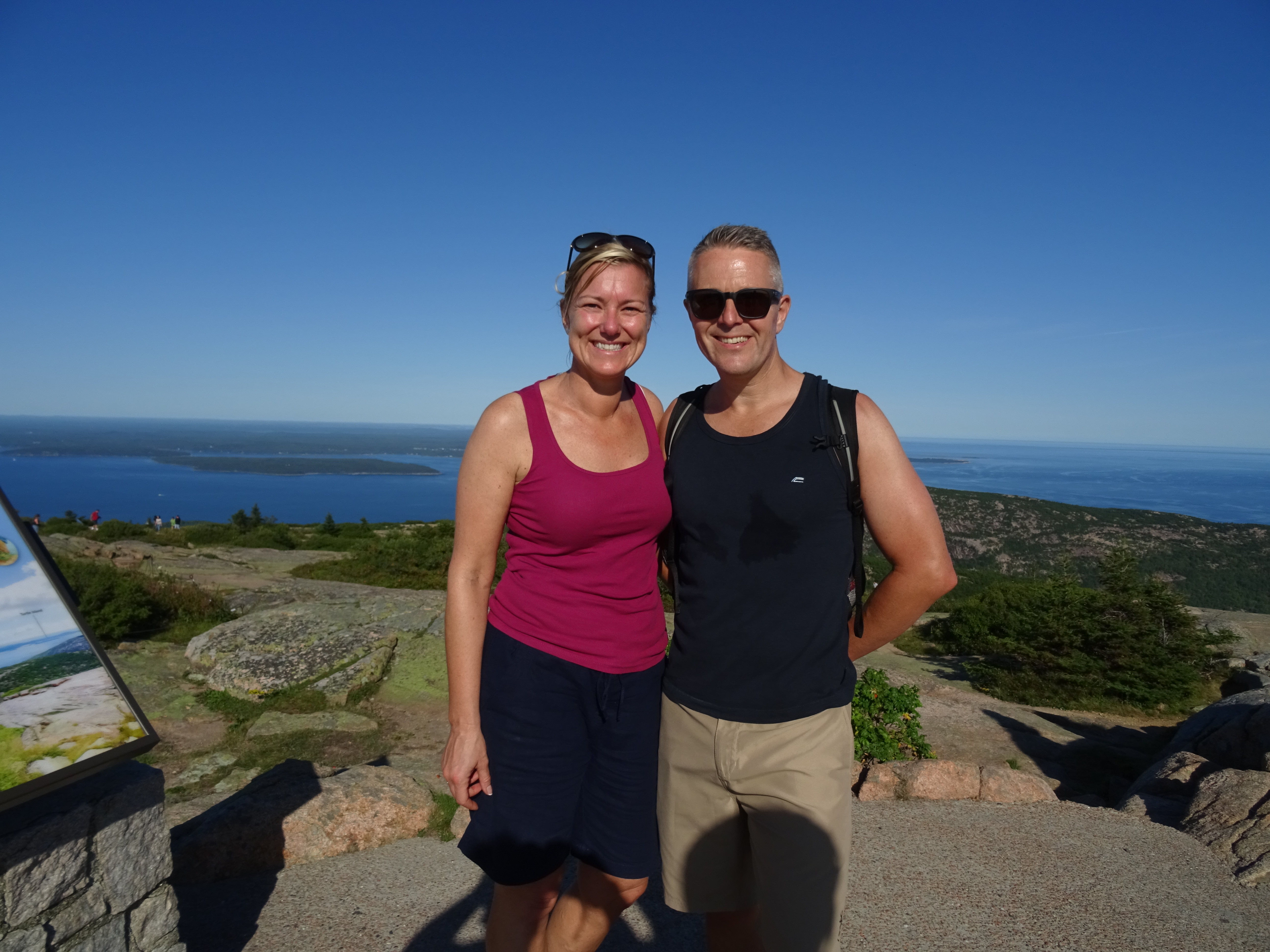
The views from the summit were gorgeous – the weather couldn’t have been any better (New England were having a heatwave and the temperatures were unusually hot for September). It was out first proper day in Acadia NP and being on top of the highest mountain meant that we gained an excellent perspective of the whole island including its beauty.


After a quick sandwich, we started the 2.2 mile descent down the North Ridge trail to the bus stop in order to get the bus back to the Visitor Centre.
Whilst we didn’t have a GPS with us, we reckon that the distance of the route was around 12.2 miles

1 thought on “New England (Acadia NP) – Cadillac Mountain”